Beach
About the accesses
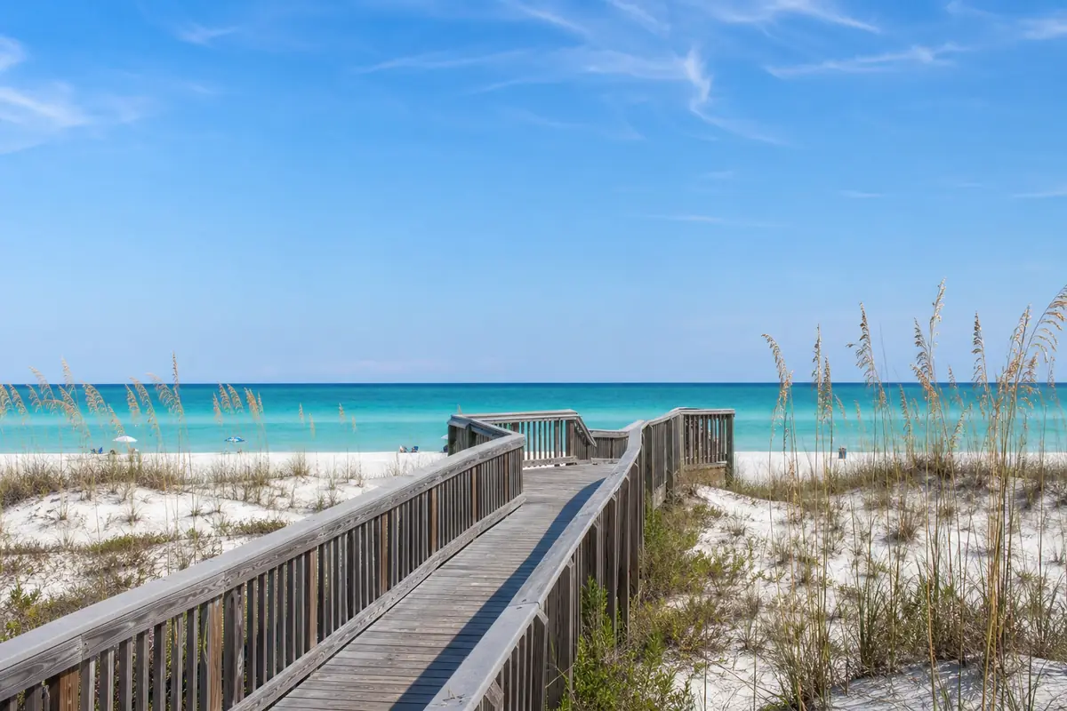
Every public beach and bay access Walton County lists inside the Santa Rosa Beach area, with the county's own words for each: a regional access, a neighborhood access, a bay access (on Choctawhatchee Bay, not the Gulf) or a beach park. Some are marked undeveloped or footpath only. Parking, restrooms and rules differ; check the county's beach pages before you go.
Tapping an access opens its spot in Google Maps for directions. The list comes from the county's public map data (published 2026-07-28); the county edits these points rarely, so a new access may be missing.
Rip current risk and public beach access in Santa Rosa Beach.
Rip current riskRip current risk
The National Weather Service rates the chance of rip currents each day: Low (rip currents can still form near piers, jetties and sandbars), Moderate (life-threatening rip currents are possible; stay near a lifeguard) and High (dangerous for everyone; stay out of the water).
This is the Weather Service's forecast, not the flag flying at the beach. The lifeguards' flags are the rule on the day: always check them when you arrive.
Rip current risk
The National Weather Service rates the chance of rip currents each day: Low (rip currents can still form near piers, jetties and sandbars), Moderate (life-threatening rip currents are possible; stay near a lifeguard) and High (dangerous for everyone; stay out of the water).
This is the Weather Service's forecast, not the flag flying at the beach. The lifeguards' flags are the rule on the day: always check them when you arrive.
South Walton beaches · National Weather Service, Tue 10:20 AM
Moderate today
Surf around 1 foot, water 83 degrees
- Wednesday: Moderate
- Thursday: High
- Friday: High
- Saturday: High
Public accesses in Santa Rosa Beach
31 accesses on the map right now
Rip current risk from the National Weather Service · Accesses from Walton County public map data · Independent, not an official Walton County site · Source · Privacy · Terms